

From UBC’s Kay Teschke:
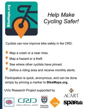
A new bike injury mapping system, by a UVic geography group headed by Trisalyn Nelson.
.
.
Go here (May not work in Internet Explorer):
.

From UBC’s Kay Teschke:
A new bike injury mapping system, by a UVic geography group headed by Trisalyn Nelson.
.
.
Go here (May not work in Internet Explorer):
.


Interesting. It’s about time for a visual tool to help explore cycling issues.
Some caveats though. They don’t show ‘Rider volume’, they show Strava data. So if anything, they show ‘MAMIL volume’. Maybe a good start, but misleading as displayed right now.
Strava data is only dataset that exists, so it is used. Something new, like CycleTracks could be used to create a transportation/utilitarian cyclist volume network.
I just checked with bike to work week data, not much overlap with strava.