
Two from Ohrn:
Greenest: 45th Avenue bike route looking east towards Angus.

.
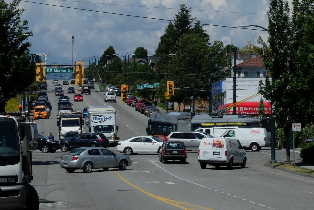
And Least Green: Main St at SW Marine Drive looking north along Main St. If you look carefully, you can see three pedestrians and one laughable sharrow.

Two from Ohrn:
Greenest: 45th Avenue bike route looking east towards Angus.
.
And Least Green: Main St at SW Marine Drive looking north along Main St. If you look carefully, you can see three pedestrians and one laughable sharrow.





In the future Vancouver will need more sea wall. The material to build this infrastructure can be mined from the urban solid waste stream, processed, mixed with hydro-kiln cement, and cast into sea wall blocks. This infrastructure innovation will reduce green house gases while preparing climate defences. It will solve two different infrastructure issues of similar scale, complexity and public concern. It will transform an entire economic sector, creating many new career and employment opportunities. The City of Vancouver’s current plan to incinerate 400,000 tons of solid waste annually should be redirected to useful purpose.
Ahh..
But the second pic shows an electric trolley bus (articulated at that!) which is likely to facilitate the movement of many more people than could be accommodated on the traffic calmed – but very green – residential street.
Perhaps the residents of that street would like a trolley bus route?
An articulated trolley has a capacity of 120 people (see: http://www.translink.ca/~/media/documents/plans_and_projects/expansion_upgrades/fleet%20pictorial.ashx). Rush hour frequency for #3 Main – Downtown appears to be about once every 7 minutes, which equates to 17 people per minute, or about 1 every 3 seconds. I have no doubt that the 45th Avenue bike route could handle similar volumes of cyclists.