
From Wired:
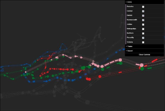
It’s hard to imagine the intricate transit tubes that snake beneath the London skyline. But armed with real-time data, line depth, and detailed mapping, one developer has transformed the Underground into art. …
London developer Bruno Imbrizi has taken it to another level.

.
Using the data and an interactive, 3-D map on his site, you can see the real-time location of trains, the stations they serve and even the depth of the lines — which finally explains the mountain of stairs you have to descend to get to the Northern Line. You can highlight individual tubes, increase the (virtual) speed of the trains, zoom in and pan, and just for flavor, Imbrizi added a soundtrack to set the tone. But fair warning: The implementation is so tricky, you’ll be stuck on his site for the next hour.
[Notes: You’ll have to have to use Chrome or some other non-IE browser. Thanks to Marc Lee for passing this along.]


